
Showing posts with label West Coast. Show all posts
Showing posts with label West Coast. Show all posts
Wednesday, January 21, 2015

Monday, January 19, 2015
Oparara Basin
On our recent holiday (here and here) to the West Coast we walked in the Oparara Basin area.
The photos don't quite show the size of the Oparara Arch, it is ~40m high.
The colour of the river is caused by tannin. Tannin leaches from decomposing leaves on the forest floor and stains the water, this happens in forests with high rainfall. Luckily not on the day we visited, just light mist.
From the arch we walked to Moria Gate Arch. Alot smaller yet still impressive.
Then on to Mirror Tarn, where in light rain it had good reflections, on a clear sunny day these would be amazing.
 |
| half of Oparara Arch |
The photos don't quite show the size of the Oparara Arch, it is ~40m high.
 |
| arch from below |
 |
| Oparara River |
 |
| tannin stained river |
 |
| possible quilting patterns |
From the arch we walked to Moria Gate Arch. Alot smaller yet still impressive.
 |
| Moria Gate arch |
 |
| view of Moria Gate arch |
Then on to Mirror Tarn, where in light rain it had good reflections, on a clear sunny day these would be amazing.
 |
| Mirror Tarn |
Wednesday, January 14, 2015

Friday, February 28, 2014
Denniston
During our recent South Island holiday one of the reasons we stayed in the Westport area was to visit the Denniston Plateau. Denniston has an interesting history and is pretty much abandoned.
After reading Jenny Pattrick's two books; 'The Denniston Rose' and its sequel 'Heart of Coal' I was keen to visit. While these books are novels they are based on the actual area and the coal industry in the 1880s.
This is part of the blurb from the backcover of 'The Denniston Rose'
The day we went there was abit overcast and quite cold. A bit odd in summer to be wearing a woollen top, fleece jacket and ski jacket! At least it wasn't raining or foggy.
After reading Jenny Pattrick's two books; 'The Denniston Rose' and its sequel 'Heart of Coal' I was keen to visit. While these books are novels they are based on the actual area and the coal industry in the 1880s.
This is part of the blurb from the backcover of 'The Denniston Rose'
The bleak coal-mining settlement of Denniston, isolated high
on a plateau above New Zealand's West Coast, is a place that makes or
breaks those who live there. At the time of this novel - the 1880s - the
only way to reach the makeshift collection of huts, tents and saloons
is to climb aboard an empty coal-wagon to be hauled 2000 feet up the
terrifingly steep Incline - the cable-haulage system that brings the
coal down to the railway line. All sorts arrive here to work the mines
and bring down the coal: ex-goldminers down on their luck, others
running from the law or from a woman or worse. They work alongside
recruited English miners, solid and skilled, who scorn these
disorganised misfits and want them off the Hill.
The Denniston Rose is about isolation and survival. It is the story of a spirited child, who, in appalling conditions, remains a survivor.
The Denniston Rose is about isolation and survival. It is the story of a spirited child, who, in appalling conditions, remains a survivor.
 |
| View towards Westport |
 |
| parts of the incline looking towards Waimangaroa on the coast |
DOC and the 'Friends of the Hill Society' have done a great job with the signage and promoting the area.


There was some evidence of where people lived with brick chimney remains, steps between various areas.

We ventured further up the plateau and explored the areas around Burnetts Face and the other settlements. We gained some understanding of how bleak it must have been and it wasn't even winter.
 |
| top of incline track |
As we wandered around the collection of abandoned rusty objects was quite impressive.
There was some evidence of where people lived with brick chimney remains, steps between various areas.
We ventured further up the plateau and explored the areas around Burnetts Face and the other settlements. We gained some understanding of how bleak it must have been and it wasn't even winter.
 |
| high on the plateau |
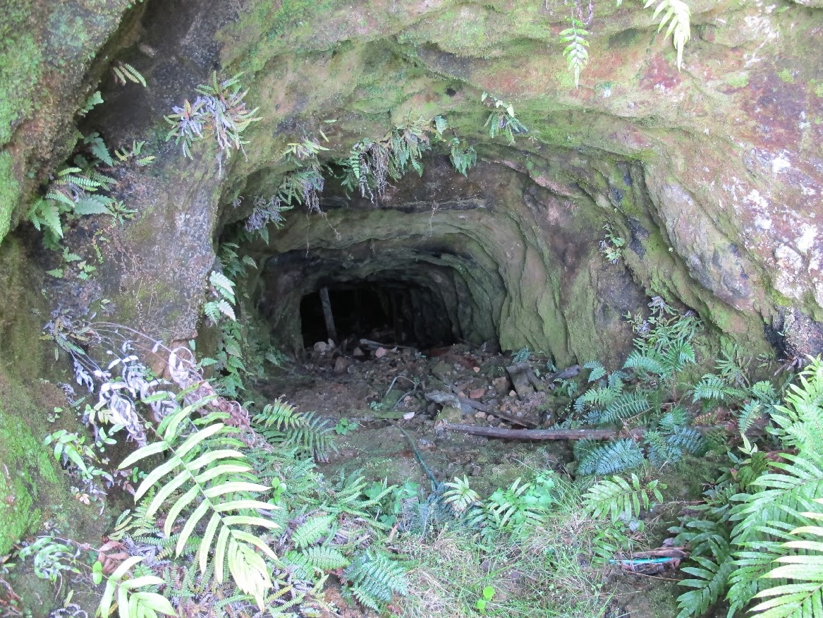 |
| abandoned mine shaft |
Wednesday, February 12, 2014
Saturday, February 8, 2014
Punakaiki
A bit more of our South Island holiday. We took a day trip to Punakaiki, in Paparoa National Park. Punakaiki is known for its pancake rocks and blow holes. For some of the way the road goes along the coast and the scenery is spectacular.

 We arrived at Punakaiki in time for the high tide. The blow holes are more impressive at high tide and even more so if there is a swell (which there wasn't really).

 The easy walk around the cliff tops takes less than 30 minutes - depending upon how long you take to watch the blow holes. When you're not looking at the coastal view the view back inland is flax (Harakeke), flax, a bit more flax and Nikau palms, then high hills covered in bush and Nikau palms.
The day we left the West Coast we also drove past Punakaiki and it happened to be high tide again. We just had to stop as that day was windy and the sea was quite choppy in contrast to the first day that was mostly sunny and calm.

 Another natural feature is the Punakaiki Cavern, this is adjacent to the main road and access is quite easy. The cave goes in ~140m and apparently there are glow worms - we learnt this on the way out so hadn't been looking for them! We were rather noisy so maybe they had switched themselves off. We all had head torches and once you got used to ducking and the slippery rocks it was fun.
We arrived at Punakaiki in time for the high tide. The blow holes are more impressive at high tide and even more so if there is a swell (which there wasn't really).  |
| Harakeke (flax) |
 |
| flowering Nikau |
 |
| a squat Nikau |
The day we left the West Coast we also drove past Punakaiki and it happened to be high tide again. We just had to stop as that day was windy and the sea was quite choppy in contrast to the first day that was mostly sunny and calm.
 |
| cave exit |
 |
| inside (odd light due to flash) |
Monday, January 27, 2014
More snaps
Continuing from my previous post with a few snaps of the Cape Foulwind (near Westport) area.

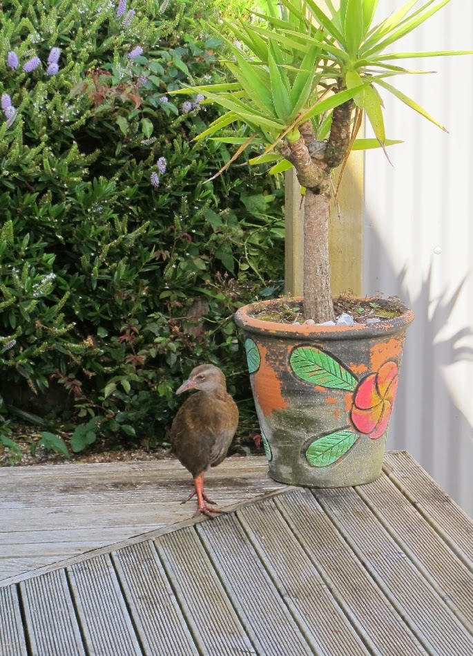
We rented a great house (click here), included was a curious Weka. Sometimes the baby visited as well.
 |
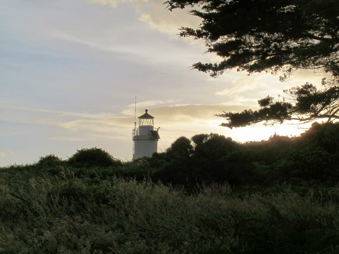
| setting sun, near Cape Foulwind lighthouse |
 |
| towards Omau, with Westport in the distance |
At Tauranga Bay (just a bit down the coast) is a fur seal colony. It is well known for being a great surfing beach (well according to the various signs), also The Bay House Cafe this looked like an interesting cafe - unfortunately we didn't get to dine there.
 |
| mother fur seal and baby |
 |
| another Weka |
 |
| typical West Coast scenery |
Saturday, January 25, 2014
To the other side
We've just spent 10 days in the South Island. An uneventful trip on the Kaitaki ferry - uneventful across Cook Strait is welcome.
After overnighting in Picton we headed for Westport (~300km). This was an all day trip with a number of stops. First stop in Blenhiem at BV Gourmet Cafe/Deli, for great coffee and food.
As we drove along State highway 63 near a Wyeburn Forest we came across a road-side farm stall selling just the best and freshest Raspberrys and Boysenberrys - they didn't last long!
A brief stop at Lake Rotoiti, brief as it was icy cold and there were bugs.
Birds became a bit of a theme for our holiday, more later.
A walk through the bush at Lyell, to the cemetery on a steep bush covered hillside. The scenery had certainly changed - we were definitely on the West Coast.

We spent four nights at Omau, Cape Foulwind, ~10 minute drive from Westport.
More to come ...
After overnighting in Picton we headed for Westport (~300km). This was an all day trip with a number of stops. First stop in Blenhiem at BV Gourmet Cafe/Deli, for great coffee and food.
As we drove along State highway 63 near a Wyeburn Forest we came across a road-side farm stall selling just the best and freshest Raspberrys and Boysenberrys - they didn't last long!
A brief stop at Lake Rotoiti, brief as it was icy cold and there were bugs.
 |
| Lake Rotoiti |
Birds became a bit of a theme for our holiday, more later.
A walk through the bush at Lyell, to the cemetery on a steep bush covered hillside. The scenery had certainly changed - we were definitely on the West Coast.
 |
| Cemetery, Lyell |
 |
| One way road beside/under Hawks Crag |
 |
| Looking towards Hawks Crag, Lower Buller Gorge |
 |
| Cape Foulwind, Lighthouse |
We spent four nights at Omau, Cape Foulwind, ~10 minute drive from Westport.
More to come ...
Subscribe to:
Posts (Atom)